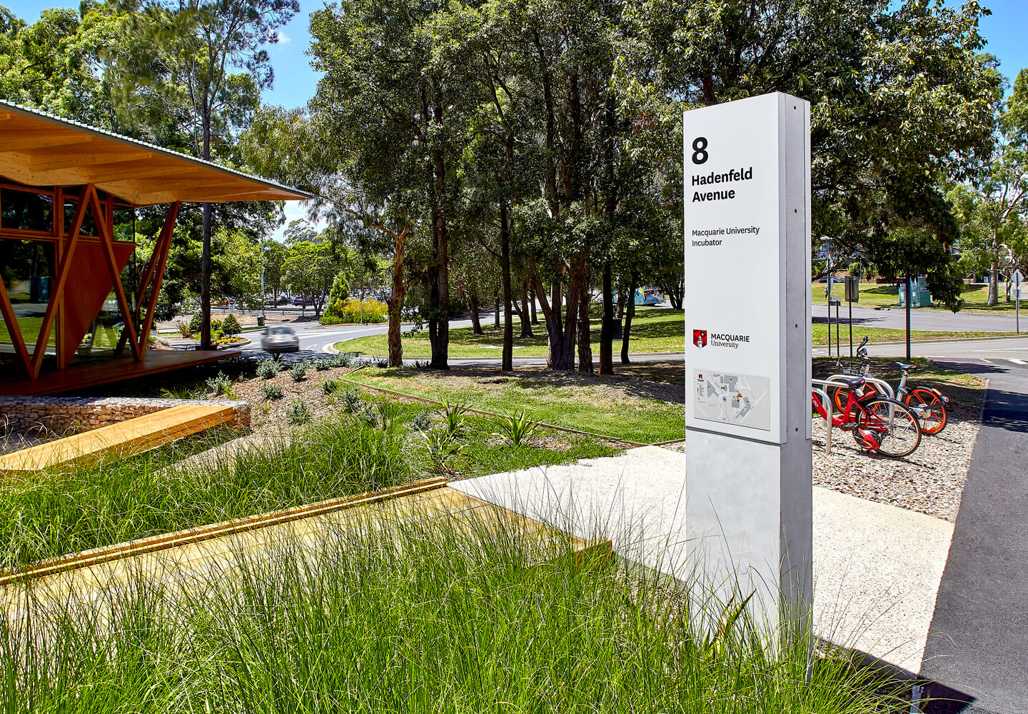
Macquarie University has shifted to a car-free environment at the centre of campus, and needed help implementing a new wayfinding strategy to facilitate the shift.
Last year, Macquarie University engaged BrandCulture to help implement a campus-wide wayfinding strategy that supports its 2014 Campus Master Plan.
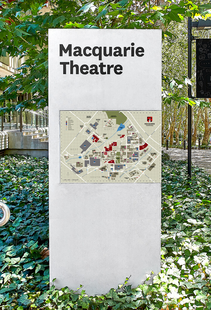
The university was in the midst of updating its Campus Master Plan after closing the centre of campus to vehicular traffic. This made a huge impact on how people moved through the campus, and their wayfinding system needed to be re-thought, updated, with many signs needing to be replaced entirely.
University campuses are bustling, ever-evolving spaces, and we love the challenge of understanding how staff, students and visitors make decisions, where they get lost, and where they take short-cuts. We’ve worked with some of Australia’s biggest universities to deliver effective wayfinding strategies, and at Macquarie University, we began to roll out a new wayfinding strategy, developed by Citizen Group, by first auditing all vehicular, pedestrian and building identification signage.
After analysing campus destinations and paths of travel, we conducted in-depth user journey mapping to test our proposed signage system in real-world situations. We also used an asset management system called PAM Wayfinding to keep track of redundant or inconsistent signage and produce new signage schedules and location plans.
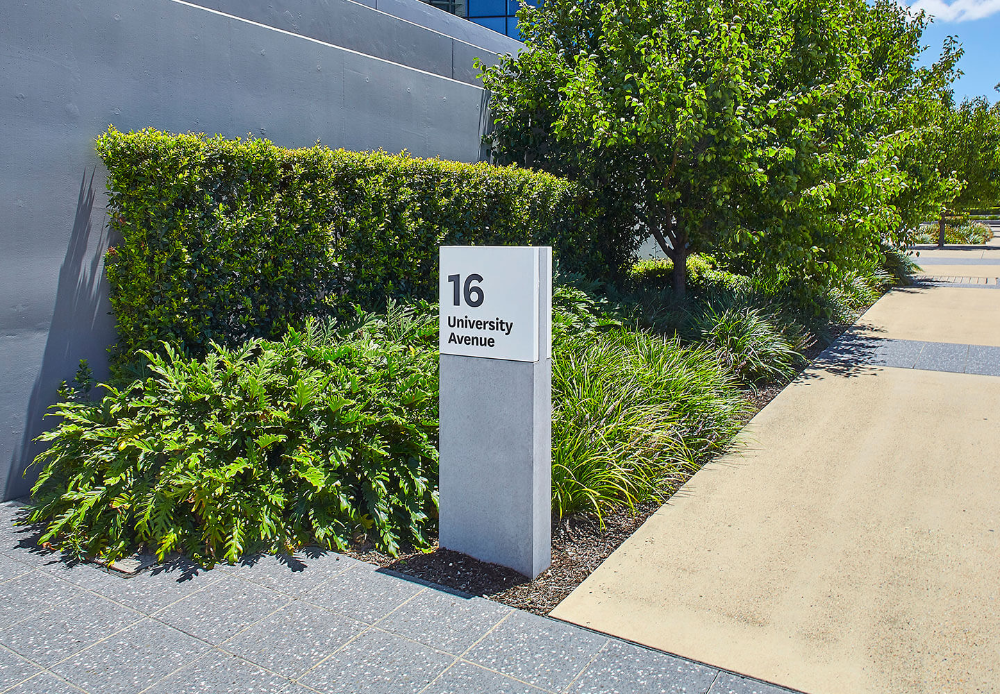
Moving around Macquarie University is now a very different experience. Instead of locating buildings using acronyms like E7A, we have helped Macquarie introduce suburban-style addresses, like University Avenue and Wally’s Walk, to facilitate navigation.
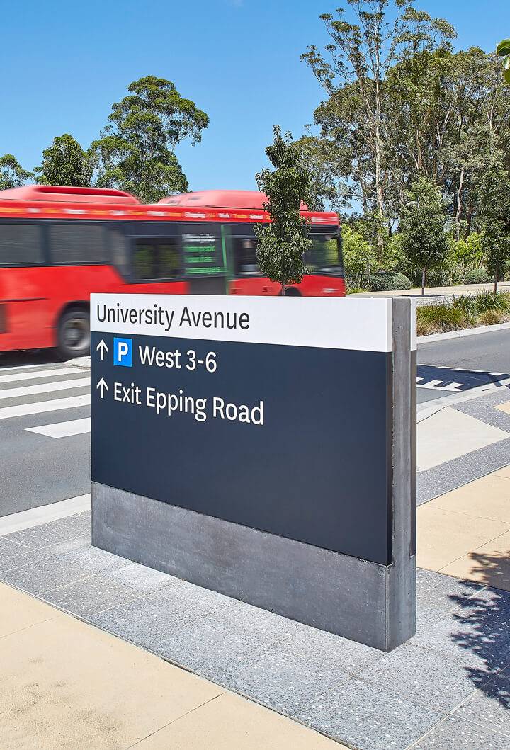
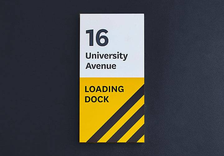
In addition to updating sign types and creating a signage placement strategy, we made nomenclature recommendations, modified building identification sign types and devised content strategies and new graphic layouts for vehicular signage reflecting best practice.
